|
|
Benseather.com Forecast
|
|
Bensweather.com Forecast Updated: Friday, Aug 01 @ 07:47pm
|
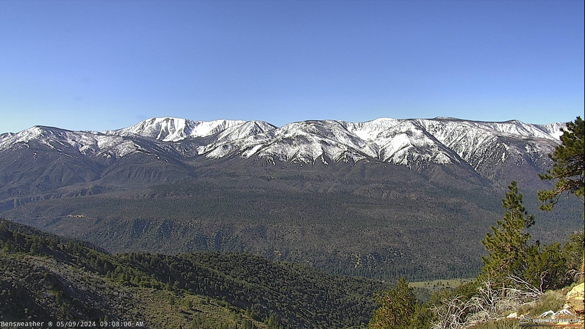
| High pressure will drift westward over the region through the weekend, leading to warmer temperatures and dry weather, as monsoon moisture remains east of our area. Little change through the weekend as we keep daytime highs in the lower 80s, while overnight lows drop off to around 50 degrees. Temperatures may actually increase further to the mid-80s by the middle of next week while high pressure amplifies across the west. The flow late next week could also draw some monsoonal moisture northward, but confidence remains low at this time.
|
|
 |